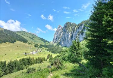
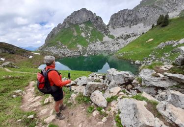
9,2 km | 22 km-effort
cornette de bises chateau d'oche
fredericx
Usuario
Longitud
15,5 km
Altitud máxima
2359 m
Desnivel positivo
1387 m
Km-Effort
34 km
Altitud mínima
1511 m
Desnivel negativo
1388 m
Boucle
Sí
Fecha de creación :
2024-07-22 17:44:13.72
Última modificación :
2024-07-22 17:45:40.11
5h00
Dificultad : Medio
Aplicación GPS de excursión GRATIS
A propósito
Ruta Marcha nórdica de 15,5 km a descubrir en Auvergne-Rhône-Alpes, Alta Saboya, La Chapelle-d'Abondance. Esta ruta ha sido propuesta por fredericx.
Localización
País:
France
Región :
Auvergne-Rhône-Alpes
Departamento/provincia :
Alta Saboya
Municipio :
La Chapelle-d'Abondance
Localidad:
Unknown
Salida:(Dec)
Salida:(UTM)
328123 ; 5133252 (32T) N.
Comentarios
Excursiones cerca
Dent d'Oche - coucher de soleil
Senderismo
Medio
(4)
Bernex,
Auvergne-Rhône-Alpes,
Alta Saboya,
France
3h 13min
Sí
Le Linleu 2093 m, depuis Sevan-devant
Senderismo
Medio
(1)
La Chapelle-d'Abondance,
Auvergne-Rhône-Alpes,
Alta Saboya,
France
5,1 km | 11,9 km-effort
3h 0min
Sí
Les Cornettes de Bise par le sentier de Saix Rouquin
Senderismo
Difícil
(1)
La Chapelle-d'Abondance,
Auvergne-Rhône-Alpes,
Alta Saboya,
France
10 km | 25 km-effort
6h 30min
Sí
Cascade boucle 2
Senderismo
Difícil
(1)
La Chapelle-d'Abondance,
Auvergne-Rhône-Alpes,
Alta Saboya,
France
10,1 km | 14,9 km-effort
3h 23min
Sí
lac darbon
Senderismo
Fácil
(1)
La Chapelle-d'Abondance,
Auvergne-Rhône-Alpes,
Alta Saboya,
France
5,9 km | 13,7 km-effort
3h 54min
No
Lac du Dacron
Senderismo
Medio
La Chapelle-d'Abondance,
Auvergne-Rhône-Alpes,
Alta Saboya,
France
8 km | 16,1 km-effort
6h 22min
Sí
DENT D'OCHE ET LAC D'ARBON
Senderismo
Muy difícil
Bernex,
Auvergne-Rhône-Alpes,
Alta Saboya,
France
10,5 km | 26 km-effort
5h 51min
Sí
Tour du Mont Chauffé
Senderismo
Medio
Vacheresse,
Auvergne-Rhône-Alpes,
Alta Saboya,
France
12,7 km | 23 km-effort
5h 12min
Sí
CORNETTES DE BISE: LAC DE DARBON
Senderismo
Medio
La Chapelle-d'Abondance,
Auvergne-Rhône-Alpes,
Alta Saboya,
France
7,7 km | 16 km-effort
3h 30min
Sí